Comenzamos la ruta en coche accediendo por la carretera que nos lleva desde Guadalupe hasta
We begin the route by car accessing the road that takes us from Guadalupe to Navalmoral de la Mata (EX-118) or walking along the left path that runs parallel to this road and goes up to the Humilladero hermitage. Once we are at the hermitage, we will take the road to the left that goes up to the Pico Villuercas Military Base, no loner in use. For about 10 km, the road ascends steep slopes amid the captivating landscape of the Villuercas.
Patches of scrub abound and in its forests deer, wild boar and roe deer attract hundreds of hunters from all over each year.
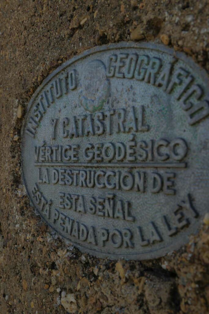
From here, the highest point in Villuercas and the watershed of the Tagus and Guadiana river basins, it is possible to contemplate all the splendor of the Appalachian relief.
In the quartzite and slate ridges of the highest parts, the zones of bars, grooves and gaps can be observed. Here birds of prey perch to nest, such as short-toed eagles, hawks, etc.
This mountain range is formed, among others, by the parallel mountain ranges of Ortijuela del Castillejo and Al-comocal, Cierra Alta and Local, Viejas, La Tejadilla and Villuerca itself.
The valleys and gorges of the Santa Lucía, Almonte and Viejas rivers flow to the west, on the way to the Tajo trench, between tight valleys and quartzite crates
To the east, the Guadalupejo and Ruecas rivers make their way into the Guadiana Valley. In these mountains, wild landscapes such as those of the Viejas River and valleys such as those of Almonte leave their mark.
At the height of the Collado de la Arena, at about 1,300 meters, we find the Pozo de la Nieve, a construction made to store snow for the Royal Monastery. It is very likely that this well existed since the Middle Ages. It was an important work, the cost of which rose to 80,000 reales, with Fray Juan de Logrosan as Prior.
Fortunately this beautiful work of great capacity and depth, whose construction dates from centuries before the c. XVII, is still standing.
This well was used to collect the snow that had fallen in winter thus providing fresh water to both the
Hospitals of Guadalupe and the inhabitants of Puebla, as well as for the conservation of medicines and food.
From here we can see Pico Villuercas at an altitude of 1,601 meters. We will begin the descent to Puebla to regain strength. It is a magnificent route for lovers of nature and photography.